Aerial Survey and 3D Image Mapping from Point Cloud
The results of the photogrammetry can be integrated into our information systems for performing an efficient Facility and Asset Management.
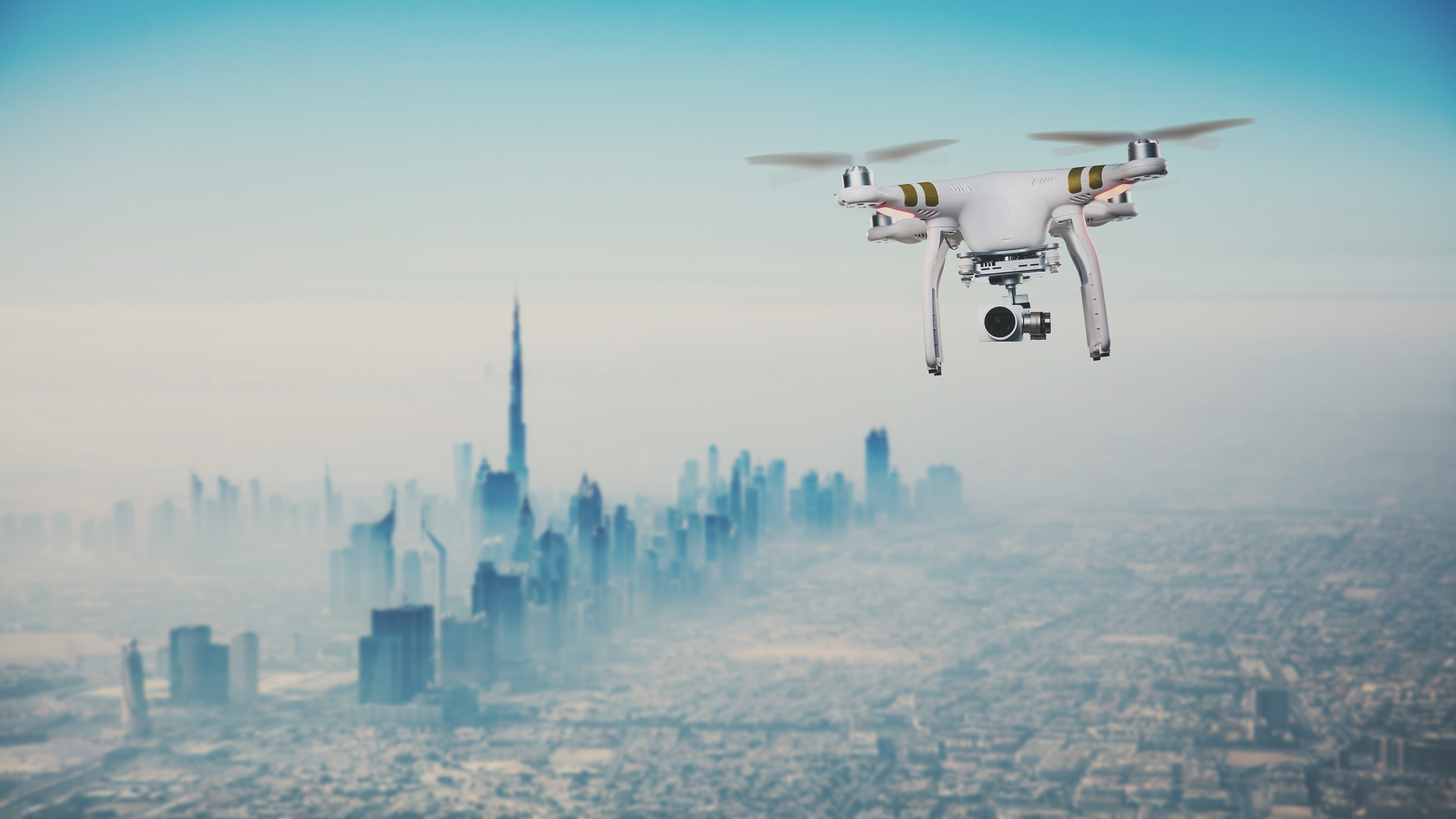
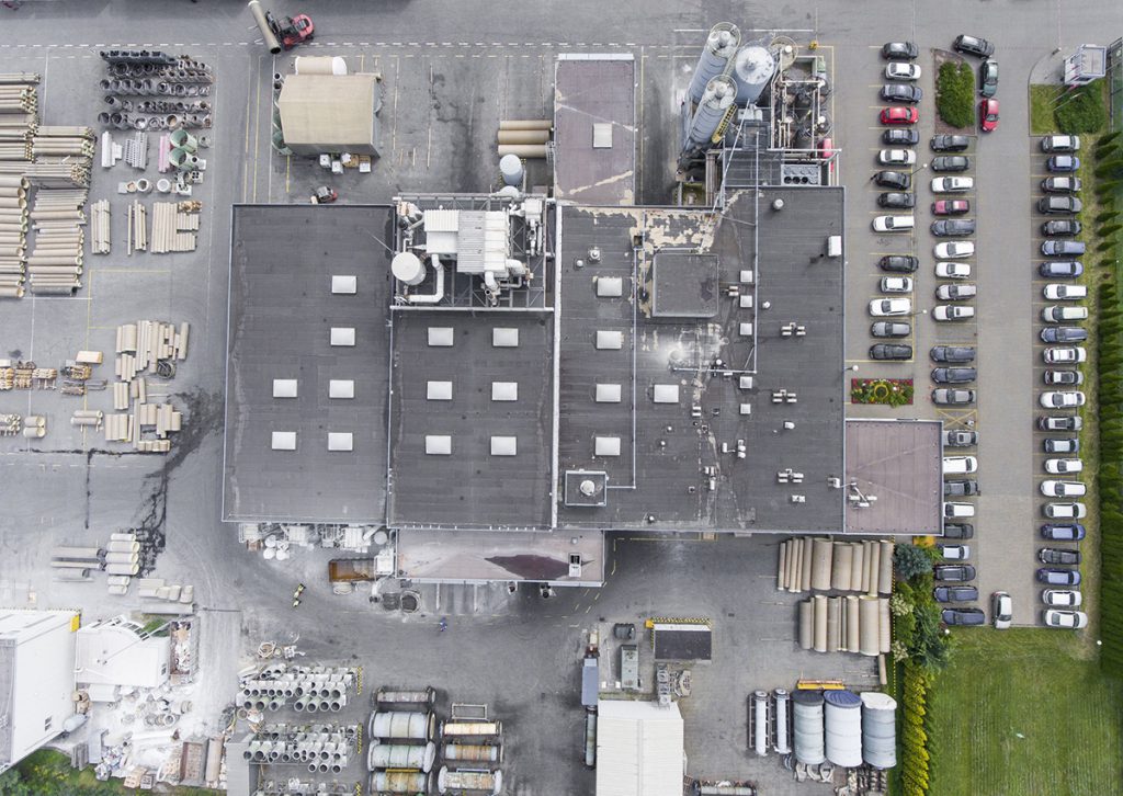
Photogrammetry with the drone is a precise and efficient tool for mapping large real estate and areas. The information and models obtained can be integrated into our information system in order to schedule maintenance plans and activites. Otherwise GEOMAP can return the data to the customer to be used with the most common 2D and 3D modelling and design programs.
Results Offered
- Dimensions and Volumes
- Points Cloud
- Updated Floor Plan
- Asset Mapping
- Structural Design Check
Risultati
Integration and GIS Accuracy
The results obtained can be integrated into GEOMAP Software. The dedicated module offers the possibility to navigate in 3D spaces and quickly obtaining information of the assets present. Furthermore, it will be possible to perform volume analysis and remote measurements in an extremely simple and intuitive way.


